3D capture
Use fixed or portable LiDAR and RGB cameras to capture the material surface.
 AUTOMATION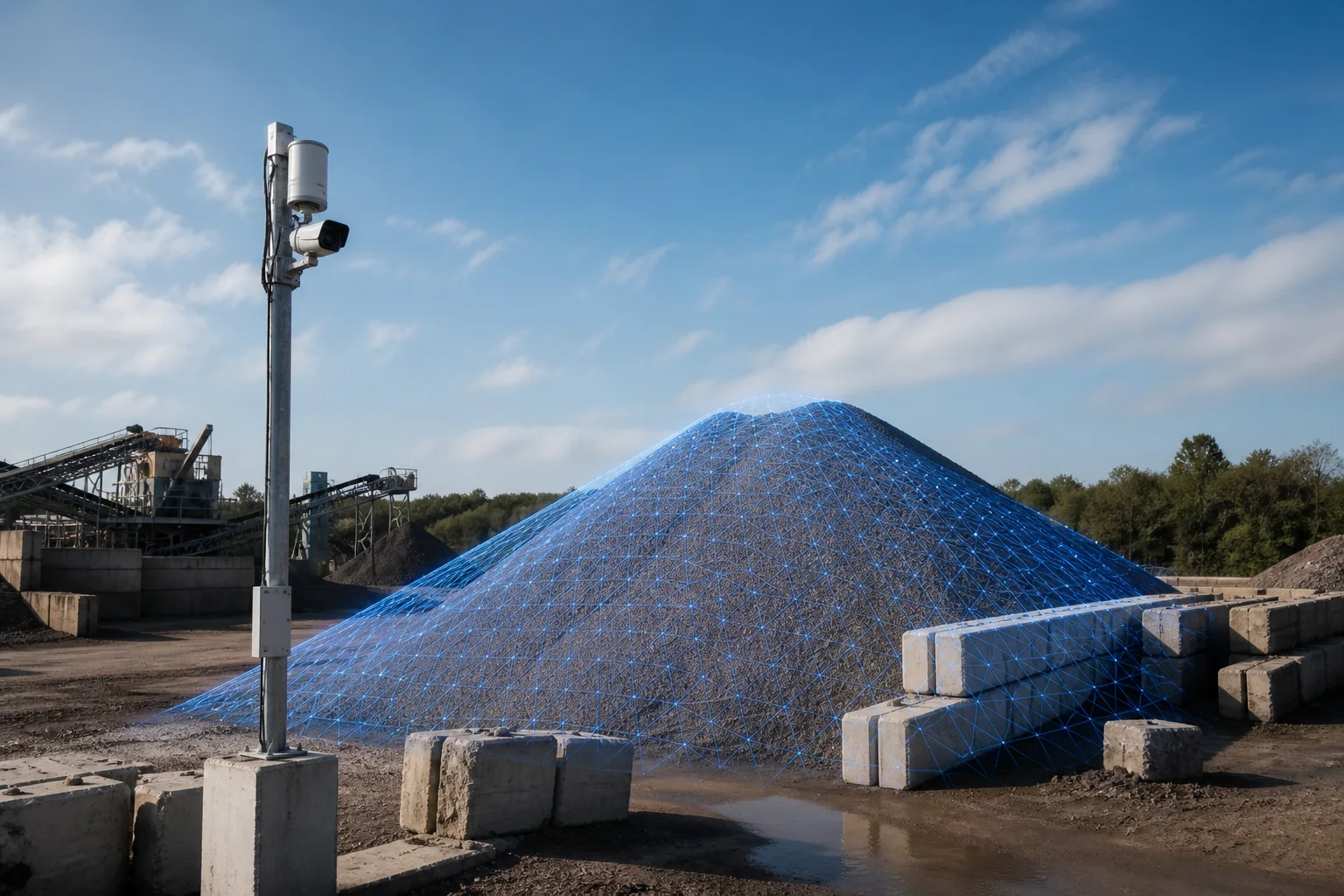
ASTREON AUTOMATION / Camera + LiDAR bulk measurement
TerraMetric Bulk Inventory Intelligence
TerraMetric combines ground-based LiDAR and RGB cameras to create traceable 3D records of stockpiles, bays, warehouses and yards—helping operations replace periodic estimates with measured visibility.
01 / WHY IT EXISTS
TerraMetric combines ground-based LiDAR and RGB cameras to create traceable 3D records of stockpiles, bays, warehouses and yards—helping operations replace periodic estimates with measured visibility.
Assess material, pile geometry, sensor placement, density inputs and reporting needs.
02 / CAPABILITIES
Every capability is scoped against real site conditions, approved inputs and the operator workflow.
Use fixed or portable LiDAR and RGB cameras to capture the material surface.
Build a traceable 3D model of the stockpile, bay or defined storage zone.
Calculate pile volume and storage utilization within the validated operating envelope.
Estimate mass only when approved density data is supplied and clearly label it as an estimate.
Review current measurements, scan history, variance, capacity and reports.
Compare measured inventory with operational or finance records to investigate variance.
03 / WORKFLOW
Technology remains reviewable, measurable and aligned with the process owner.
Collect synchronized LiDAR geometry and RGB context.
Register the point cloud and isolate the configured material zone.
Calculate volume against the approved ground or container reference.
Track change and compare measurement with the recorded inventory.
Export a reviewable record with scan context and methodology.
04 / INITIAL MARKETS
RESPONSIBLE PRODUCT BOUNDARY
TerraMetric does not publish a fixed accuracy percentage before representative field validation. Volume is measured within an agreed operating envelope; tonnage is a density-based estimate unless independently weighed.
START WITH THE OPERATING PROBLEM